
7.1 miles loop trip
Elevation gain: about 450 feet
This is a really nice ski, not too difficult, yet with a good uphill grunt and several twisty downhill turns. Sometimes I do two or three loops. Take Route 2 to Goose Creek Campground (trip #2) and continue another 100 yards to an intersection with Route 8, a total of 2.2 miles from the car. Turn left on Route 8 and gain some elevation - but not too much - heading first east, then north until you reach Intersection O, 4 miles from the car. From here, a right-hand turn takes you up the Faultline loop (trip #12). Go straight onto Route 6A - Valeria Way - for some more enjoyable striding. Left at the next intersection onto Route 6 takes you back a zippy 1.2 miles to Intersection C. From here you can retrace your tracks back to the car along Route 2, or turn around and do the loop again, only this time clockwise. In fact, I think going clockwise is even nicer.
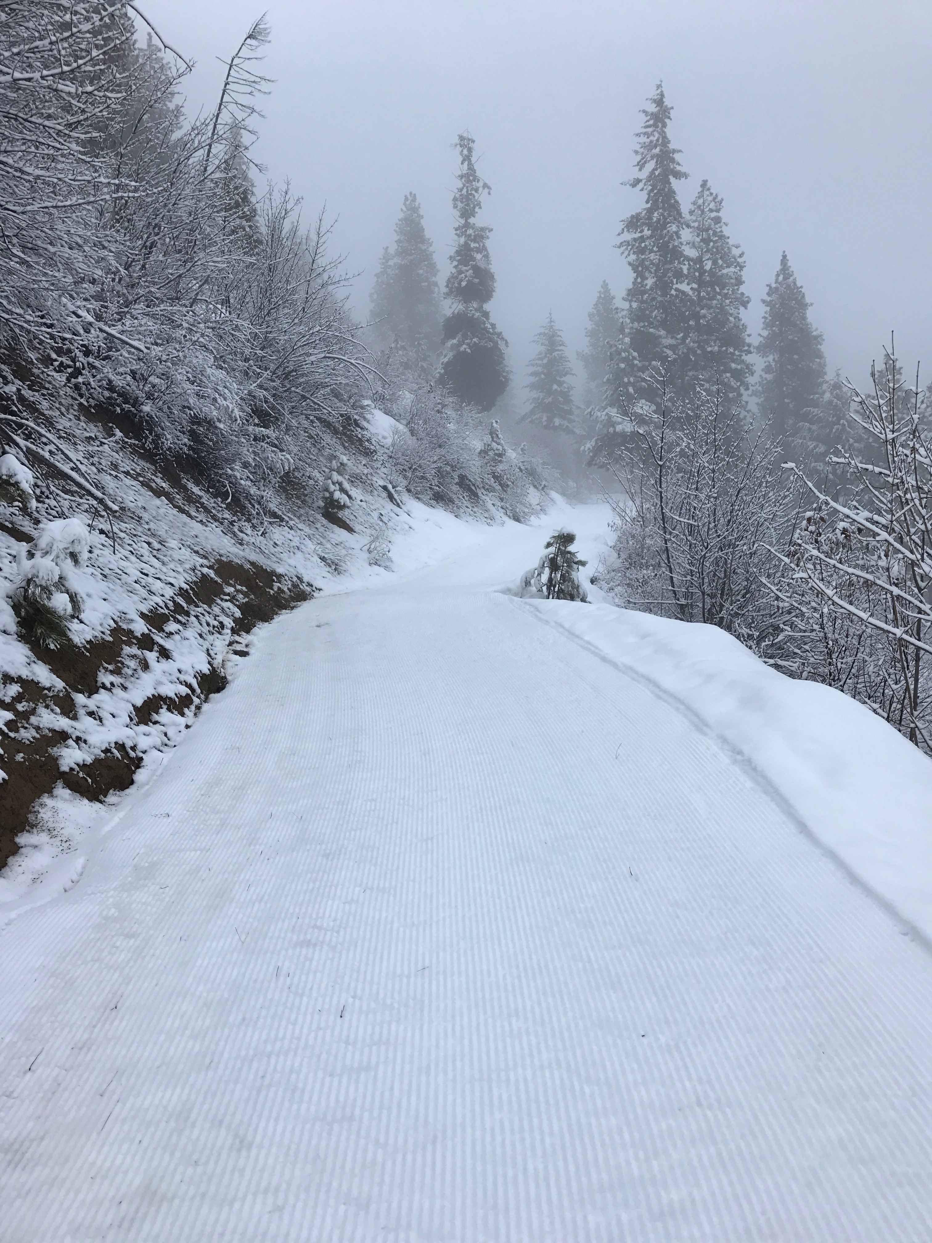
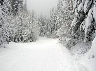
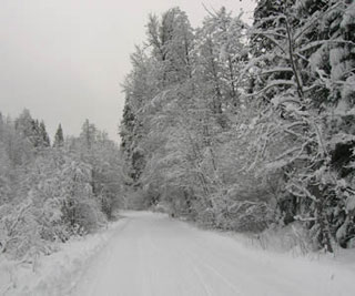
These pictures look gray, but the silence of snow-covered trees and enjoyable striding is absolutely golden. Later in the season, say February, you get a larger chance of blue skies. But then you usually give up the snow-on-everything experience. It's amazing either way.
Beginning some elevation gain
Valeria Way: Foggy morning, great skiing.
Valeria Way