
16.4 miles RT
Elevation gain: 1800 feet
I used to think this route was a lot of work even though it is slightly shorter and easier than the Pole Ridge or Faultline trips. After about the 50th time, however, I am warming to it. Why? Because, among the harder trips in this area, you are least likely to encounter a snowmobile. I never have had a snowmobile buzz by on this outing. Maybe they think it's a lot of work too.
The trip consists of a loop added on to the Meadow Creek Campground trip (Trip #1), making it a lollypop route. From Meadow Creek Campground (see Trip #1), continue another 0.25 mile to an intersection. You can do the loop either way, but I like my pain short and intense, so I go clockwise when I can (i.e., when the groomer cooperates). To go clockwise, bear left onto Route 3E and begin a gradual 3 mile climb. Along this climb you pass an intersection with Route 4F that takes you across Meadow Creek on Wounded Knee Bridge and onto Jarrad's Loop (see Trip #7). Stay straight, however, onto Route 3D. After a couple miles of gradual climbing your real work begins with an intense 1 mile hill.
The benefit of doing this trip clockwise is that, after cresting the hill (the high point of the trip at 3600 feet), you get to enjoy a gradual descent of over 4 miles through quiet forest, with occasional views across Meadow Creek and up to Pole Ridge and Dirtyface Peak. If you come the other way on this loop, counter-clockwise, this gradual uphill seems to last forever.
At the intersection with the Brush Creek trip (see Trip #8) at what the Forest Service calls Junction T, turn right to zip downhill on Route 3B. Then retrace your tracks across Meadow Creek on Route 3A and back to the Sno-park on Route 3. You might encounter a lemming or two on this last stretch, but by now you can smell the coffee at the 59er Diner.
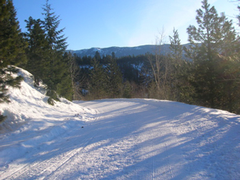
Stretch those legs as you glide in solitude along the back stretch of the Meadow Creek Full Tour.
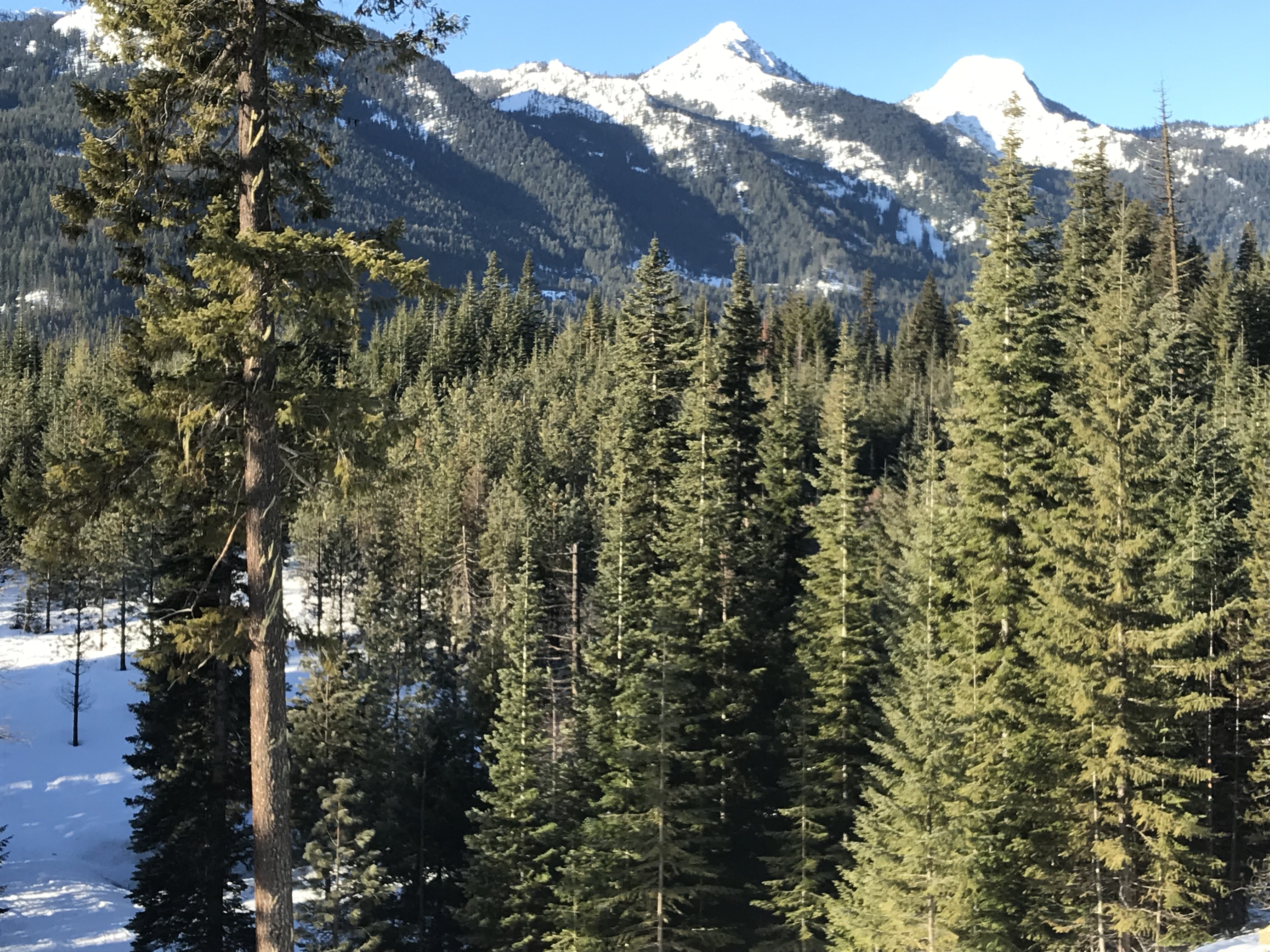
Big views galore along this route